


12,4 km | 21 km-effort


Utilisateur


Application GPS de randonnée GRATUITE
 SityTrail
IGN / Instituts géographiques
SityTrail World
Le monde est à vous
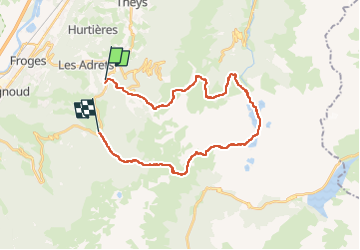
Randonnée Marche de 29 km à découvrir à Auvergne-Rhône-Alpes, Isère, Les Adrets. Cette randonnée est proposée par Camille Lecoutre 3.
carte IGN 3335ET – Le Bourg D’oisans l’Alpe d’huez Grandes Rousses Sept Laux
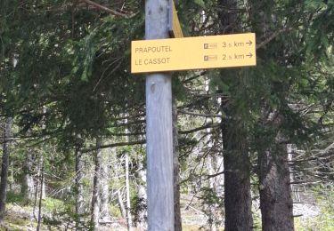
J1 : Prapoutel – Lacs des 7 Laux
J2 : Lacs des 7 Laux – Lac de la Coche
-> soit descendre et suivre le GRP (-1000m/ 600m)
-> soit passer par le col de la vache
J3 : Lac de la coche – Prapoutel
variante
J1 : Prapoutel – refuge des 7 Laux (15,6 km / 1330 m / – 515 m)
J2 : Refuge des 7 Laux – Rivier d’Allemont (gite d’étape les Favets) (11,2 km / 122 m / – 998 m)
J3 : Rivier d’Allemont – Prapoutel (12,9 km / 747 m / – 691 m)
ou
J1 : Prapoutel – refuge des 7 Laux (15,6 km / 1330 m / – 515 m)
J2 : Refuge des 7 Laux – Refuge d’Aiguebelle (16,9 km / 844 m / – 1251 m)
J3 : Refuge d’Aiguebelle – Prapoutel (6,9 km / 12 m / – 427 m)

Marche

Ski de randonnée

Ski de randonnée
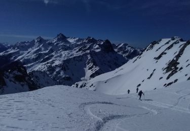
Ski de randonnée
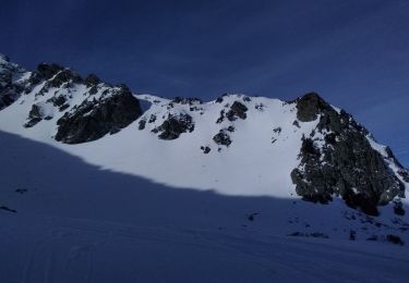
Ski de randonnée

V.T.T.
Marche
Marche
Marche